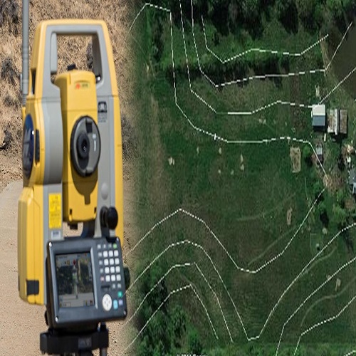
Contour Survey
A contour survey is a vital process in land development and construction that involves mapping the elevation or relief of a specific area. This survey results in a detailed topographic map with contour lines representing different elevation levels, providing a three-dimensional perspective of the terrain on a two-dimensional plane.